Need assistance? Call us on
01722 717 132
Number of items in basket: 0
|
 View Basket
- Home
-
Family Tree Maps

1:2,500 Family Tree Maps

1:10,000 Family Tree Maps

1:50,000 Family Tree Maps
-
British Maps
1:2,500 mapping
1:10,000 mapping
1:50,000 mapping
- Explore
County Series 1:2,500 maps
Published 1855-1896
The origins of the 1:2,500 maps date back to 1840 when it had been decided to extend the 1:10,560 series mapping project to cover the whole of Great Britain. However, it soon became clear that more detailed maps were needed. After prolonged debate about the scale, format and (inevitably) the cost of the new surveys – it was eventually agreed that the whole country would be surveyed at 1:2,500 except for areas of moorland and mountain where 1:10,560 was deemed sufficient.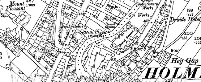
The small army of surveyors was once more despatched across Britain while teams of engravers and printers in Southampton eagerly awaited the material this operation would so painstakingly collect.
The first maps at 1:2,500 (roughly 25 inches to the mile, or roughly one square inch to one acre) were published in 1855 with coverage of the cultivated parts of Great Britain being completed in 1896. By then, a thorough revision had already started; indeed, the process of updating the information and publishing the results in a variety of formats has continued until the present day.
Almost every man-made feature of any significance is displayed on these maps which thus form a definitive record of the changing landscape of Britain since the middle of the 19th century. They are of considerable importance to historians (although this would have been inconceivable to their creators). The detail zooms in to house-level and offers a wealth of additional information concerning land usage, communications and boundaries. For genealogists they are of particular use and interest. Not only do they offer countless research clues which no other source can match but they also reveal every nuance of the landscape inhabited by past generations, so helping to explain many of the preoccupations and limitations that ruled their lives.
Ancestry-maps has a collection of Ordnance Survey maps dating back to 1805, or for earlier maps why not visit our sister site Cassinimaps for our collection of 16th, 17th and 18th maps from Cassini's British Library collection.