Need assistance? Call us on
01722 717 132
Number of items in basket: 0
|
 View Basket
- Home
-
Family Tree Maps

1:2,500 Family Tree Maps

1:10,000 Family Tree Maps

1:50,000 Family Tree Maps
-
British Maps
1:2,500 mapping
1:10,000 mapping
1:50,000 mapping
- Explore
County Series 1:10,000 maps
Surveyed 1852, published 1855
1:10,560 mapping rescaled to 1:10,000The origins of the six-inch to the mile maps (1:10,560) date back to 1824 when this scale was adopted for a survey of Ireland. By 1840 it had been decided to extend the project to Great Britain. Work began in Lancashire and Yorkshire in 1841 and in Scotland in 1843 with the first sheet appearing in 1846. It was not until 1890 that maps covering the whole country had been published, the first generation of what later became known as the County Series.
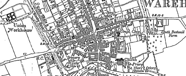
By that time revisions to the earlier sheets were already underway, a rolling process that continued until the last County Series sheets were superseded by the 1:10,000 National Grid Edition in the 1980s. Each sheet appeared in up to six editions, displaying various evolutions of detail, format and reproduction technology. For over a century, the Ordnance Survey’s
County Series maps reveal the changing face of Britain in compelling and painstaking detail and now provide immaculate records for 21st-century researchers and historians.
Cassini has reproduced County Series maps of most areas of England and Wales. This involves combining more than one original sheet to give an appropriate area of coverage. In the process, the maps have been enlarged slightly to 1:10,000 so bringing them into line with more recent maps at this metric scale.
Ancestry-maps has a collection of Ordnance Survey maps dating back to 1805, or for earlier maps why not visit our sister site Cassinimaps for our collection of 16th, 17th and 18th maps from Cassini's British Library collection.